ARGO FLOAT PROGRAMME
GLOBAL OCEAN BIOGEOCHEMISTRY ARRAY (GO-BGC ARRAY)
A global network of autonomous robotic floats that measure the ocean from the surface to 2,000 m, helping scientists understand how the ocean stores carbon, supports life, and responds to climate change.
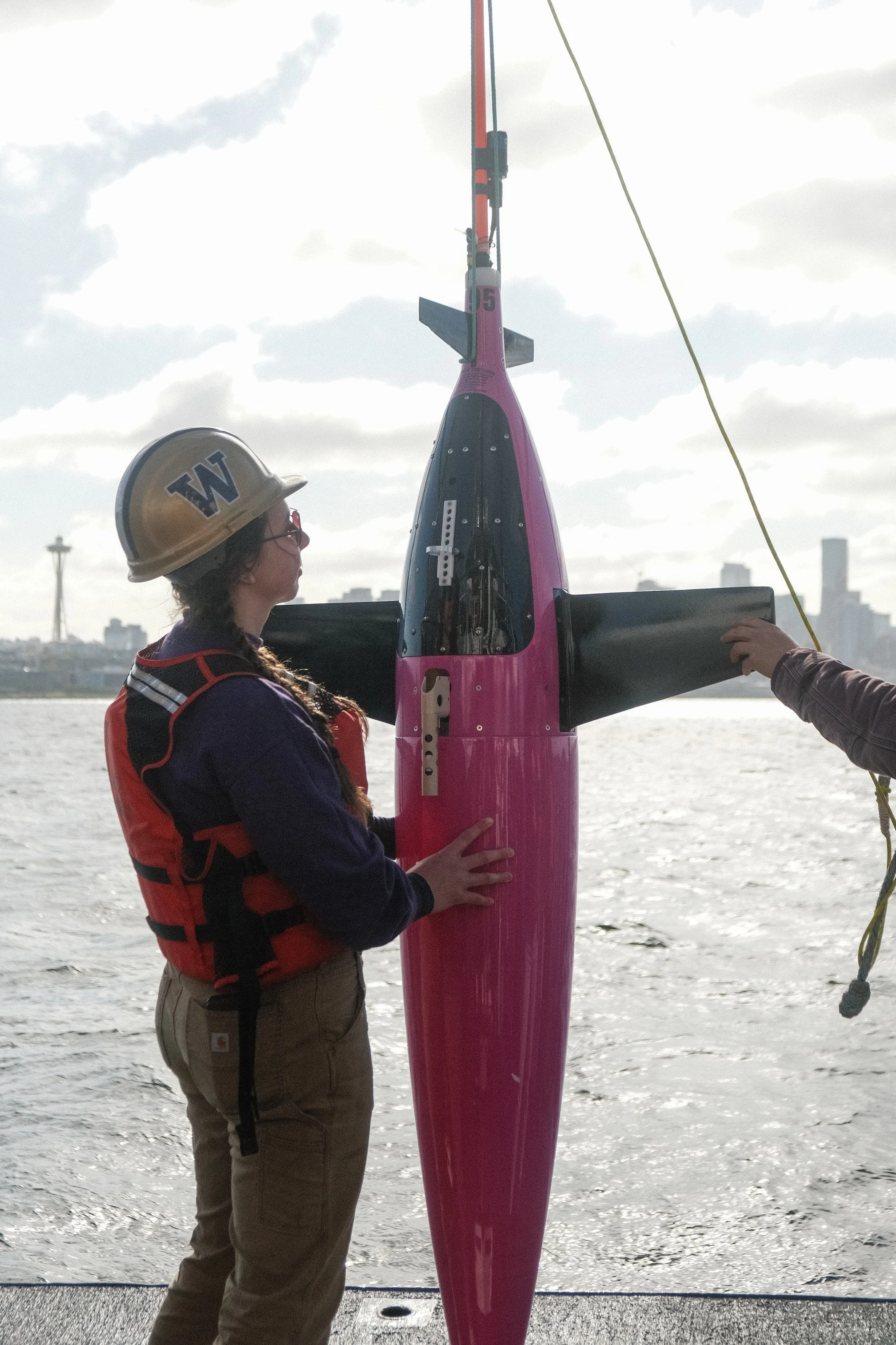
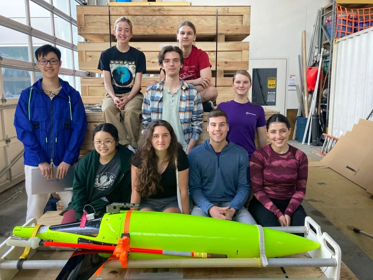
Deployment of biogeochemical floats through the SOCCOM and GO-BGC programs.
Project Partners
Scripps Institution of Oceanography, Woods Hole Oceanographic Institution, University of Washington, Monterey Bay Aquarium Research Institute, Princeton University, MET Office, UK
Project Spotlight:
Argo Floats on The World, the largest private residential yacht on Earth.
WHAT IT MEASURES
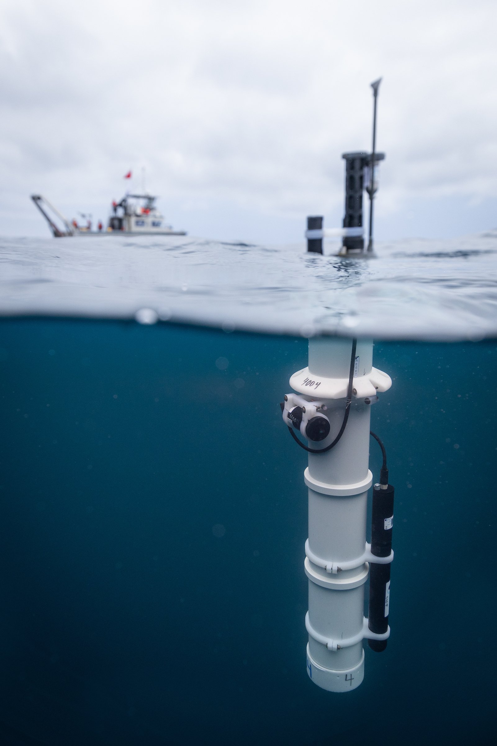
Temperature, salinity, and pressure from the standard Argo array.
Biogeochemistry data including pH, nitrate, chlorophyll, suspended particles, and dissolved oxygen.
Two of the eight floats onboard The World were fitted with dissolved oxygen sensors.
These measurements help reveal both physical ocean conditions and the chemistry of marine ecosystems.
HOW IT WORKS
Each float is buoyancy-driven and changes depth by shifting about 240 cc of mineral oil between an internal pressure housing and an external rubber bladder.
Floats are typically parked at 1,000 m depth between profiles, where low light reduces biological growth and helps preserve accurate ballasting.
Every 10 days, the float descends to 2,000 m and then profiles upward to the surface, collecting data through the water column.
At the surface, it raises its antenna, transmits data via the Iridium satellite network, and then returns to 1,000 m for the next cycle.
Floats are battery-powered and usually operate for 8–10 years.
INTERESTING FACTS
Even in strong equatorial currents, floats usually drift only one to two degrees over their lifetime.
Ice-covered deployments can use an ice-avoidance algorithm to prevent surfacing under sea ice.
If conditions suggest ice is present, the float stores data internally and waits for ice-free conditions before transmitting.
Some floats can retain multiple years of data before surfacing again.
Argo is one of the most important long-term ocean observing systems in the world, because it provides repeated measurements from remote parts of the ocean.
WHY IT MATTERS
Argo floats give scientists a continuous view of ocean conditions that ships cannot easily reach. This makes them essential for tracking ocean change, improving climate understanding, and supporting marine research.
FUTURE DEPLOYMENTS
UK visiting yachts collect 2 x Argo for deployment Nordic Seas
Perfect for vessels 24m +
Floats are hand deployed by 2 people
Floats must be deployed in the EEZ zone